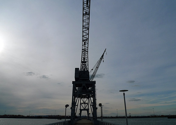
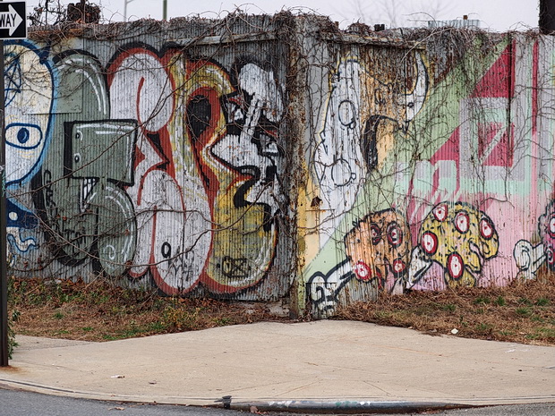
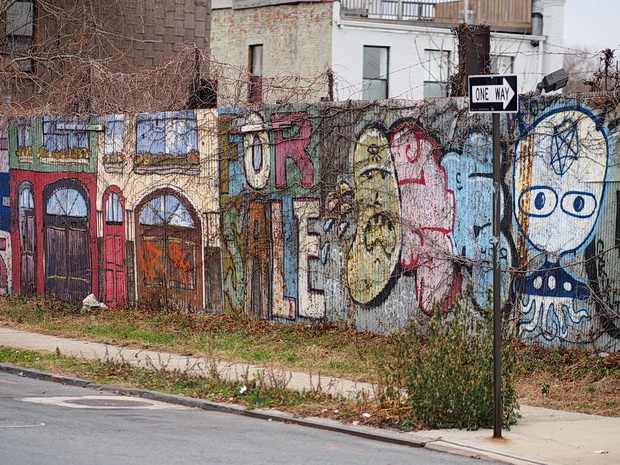
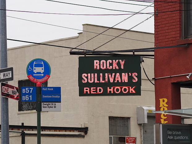
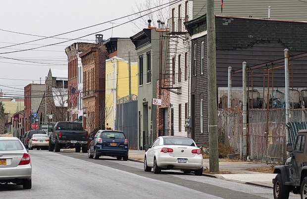
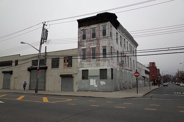
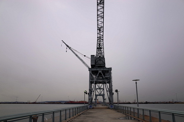
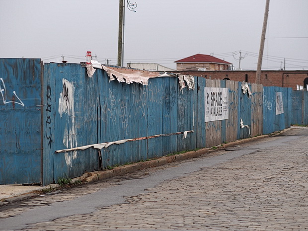
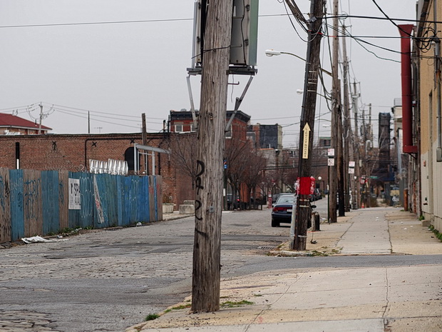
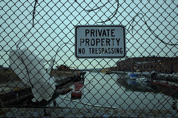
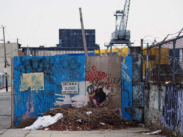
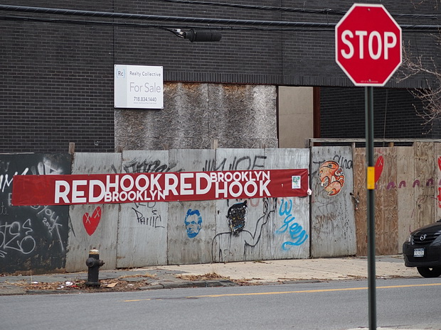
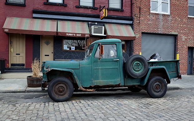
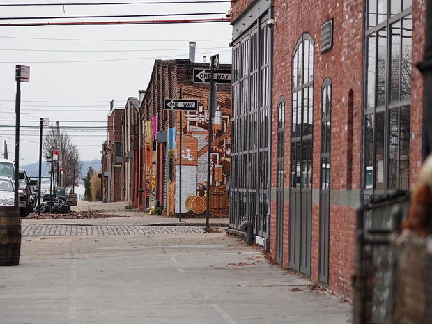
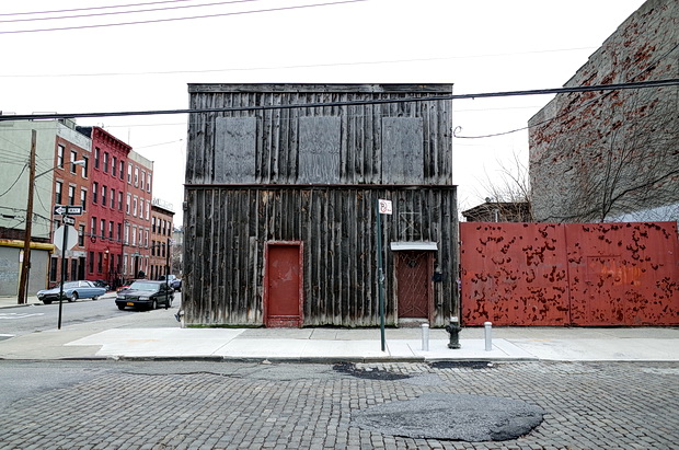
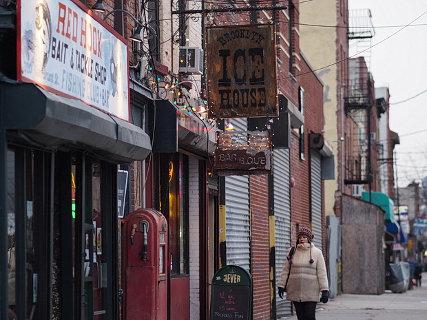
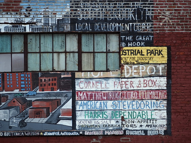
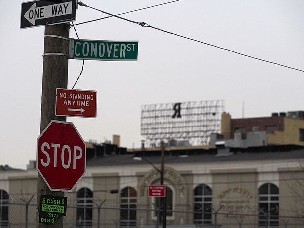
Inaccessible and run down enough to ward off all but the most hardy hipsters and developers, Red Hook is situated in the south-western corner of the New York City borough of Brooklyn.
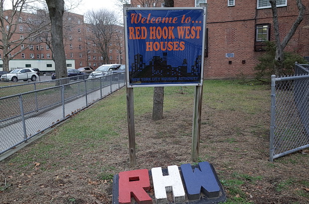

Hit hard by Hurricane Sandy in 2012, Red Hook hosts a large and impoverished housing project and is somewhat isolated because of its poor transportation links, with the nearest subway located a considerable distance away [—].
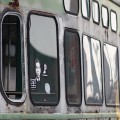
Hopes to introduce a historic street car service to the area recently failed, with the three vintage trolley cars being removed from the waterfront in February 2014, although there are several buses and ferries serving the area. [—]

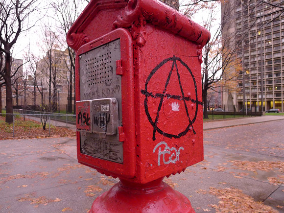
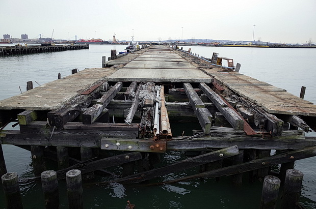
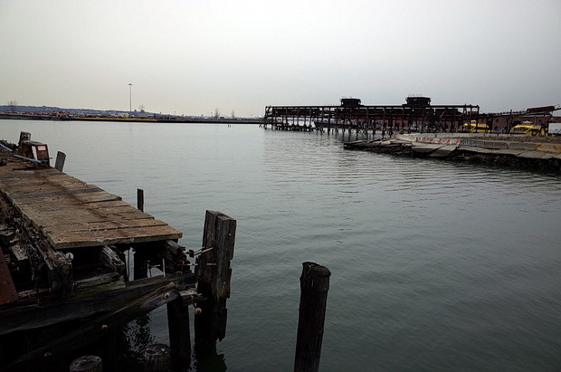
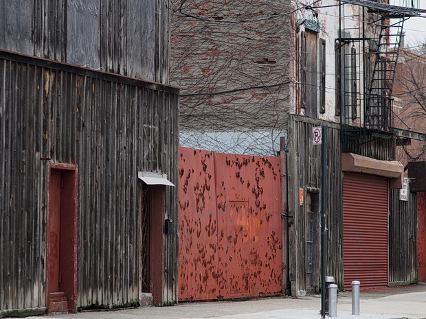
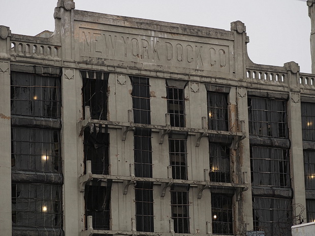
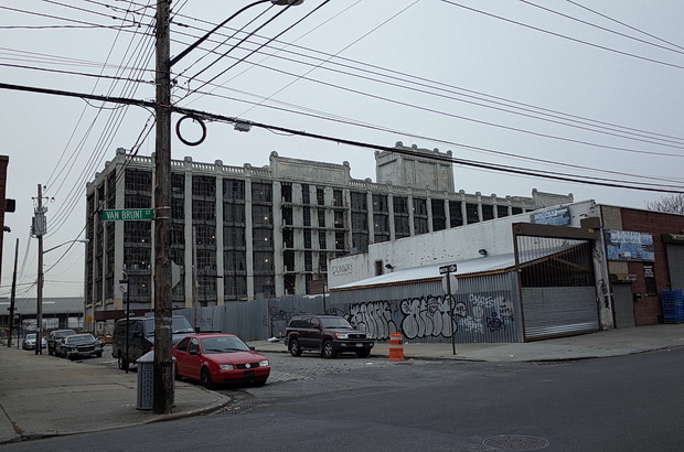
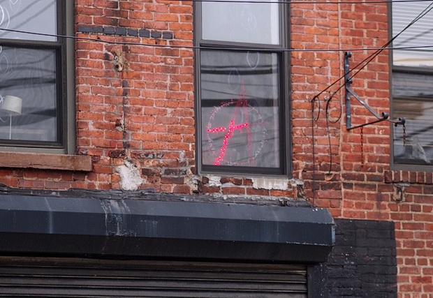
With its heyday of the mid-1800s to the mid-1900s far behind it, much of the area remains unloved and in a poor state.
However, it has recovered considerably from its post-industrial 1990s nadir, when LIFE magazine declared it to be one of the worst neighbourhoods in the United States and the ‘crack capital of America.’ [—]
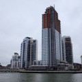
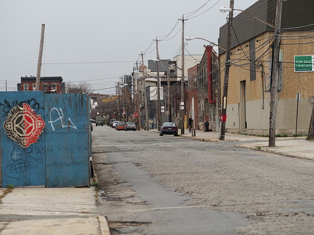
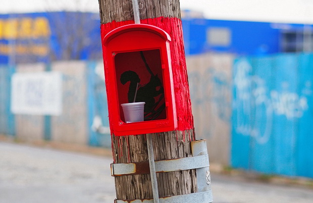
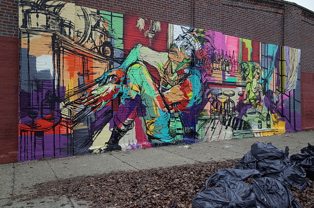
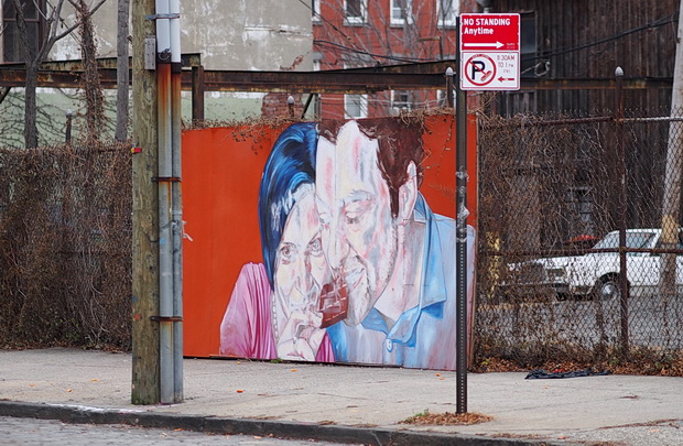
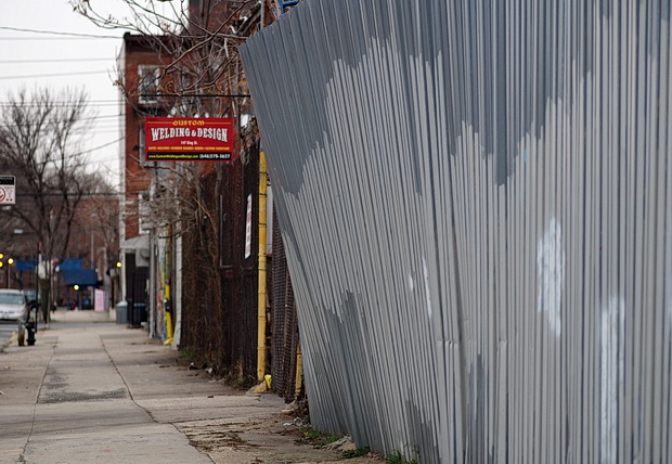
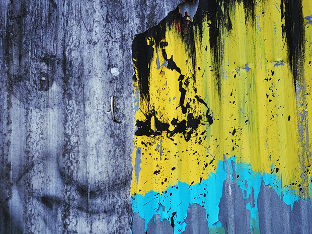
A recent influx of artists and new businesses has sparked some recovery for Red Hook, but I reckon it’ll be a while before Starbucks start opening up on every street corner (not that I want to see that anyway).

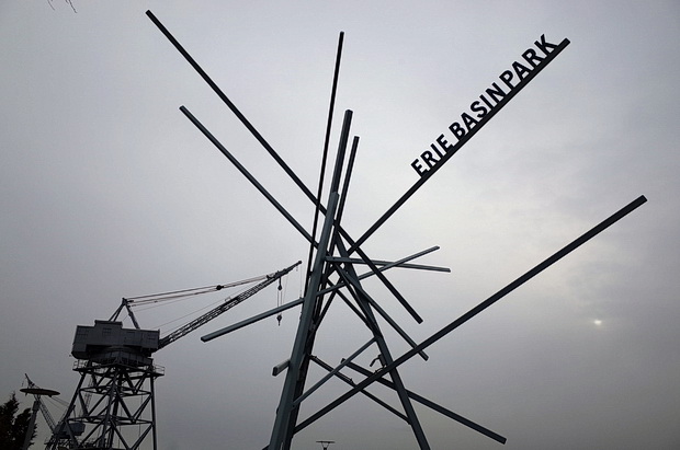
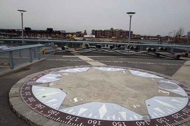
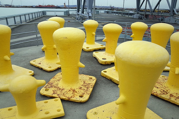
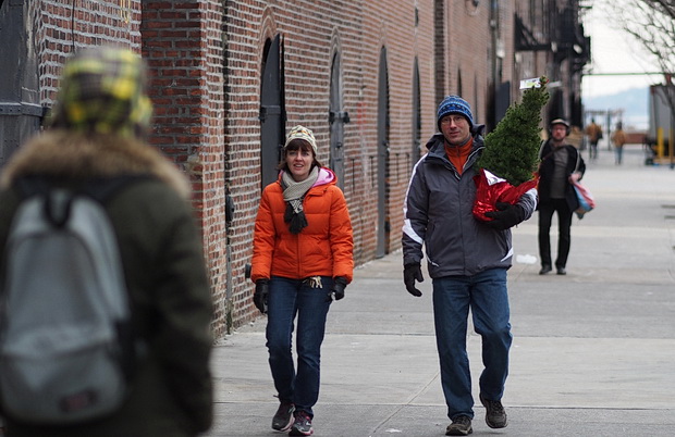
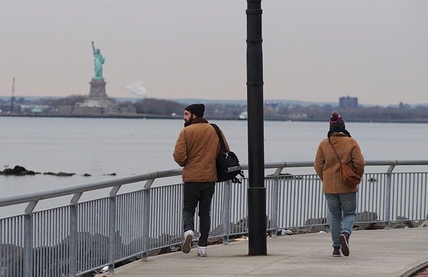
Here’s some photos from a visit in December, 2103 (you can also see photos from my first visit in December 2008 here).


Read more about the area’s history – and see a photo feature from 2008 – here.
Related posts: