Brixton: lost pubs: THE NORMANDY
20 Normandy Rd, Brixton, London SW9 6JH
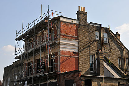 The Normandy [Sept 2008]
According to the 1913 Ordnance Survey map, one side of this street was known as Normandy Place and the other side, Addison Place - and to confuse matters further, the Normandy pub was on the southern Addison side!
The street - just off Brixton Road - now goes under the name of Normandy Road.
The pub was previously known as the Cowley Arms (it's listed in a 1944 index with that name) which suggests that it may have been renamed after the Normandy Landings of WW2.
To confuse things further, the 1881 Victorian index of pubs records the Cowley Arms as being on Melbourne Square, Kennington, LAMBETH. Melbourne Square was at the end of the road.
Digging deeper,  a poll for a knight of the shire for the eastern division of the county of Norfolk of June, 1858, had a William Rumming of the Cowley Arms listed as a eligible voter. He was still there seven years later in July 1865 when a second poll took place. a poll for a knight of the shire for the eastern division of the county of Norfolk of June, 1858, had a William Rumming of the Cowley Arms listed as a eligible voter. He was still there seven years later in July 1865 when a second poll took place.
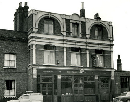
July 1966 view.
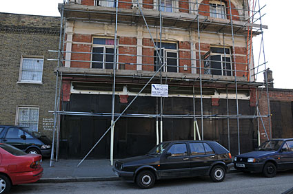
The pub appears in poor repair, although some repair work was underway when we visited in September 2008.
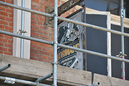
The old sign.
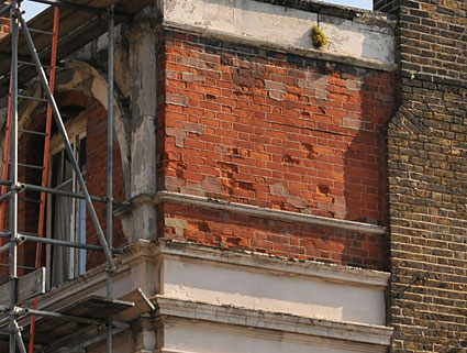
The brickwork looks in urgent need of some TLC.
Chat about the pub on the forums.
View Larger Map
« back to Lost Pubs homepage
|
|