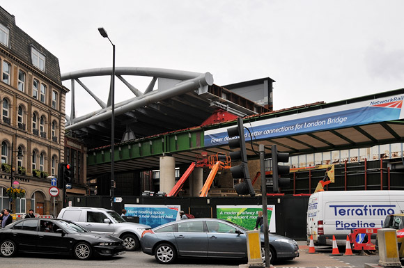
If you’re as cartographically obsessed as me, you’ll quite happily spend long hours poring over Ordnance Survey maps, archive maps, route diagrams and rail maps, and if you’ve any interest in the London Transport network, here’s a great map for you!
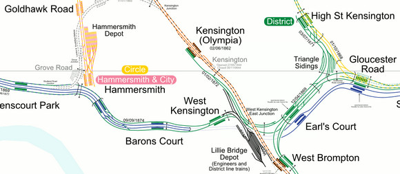

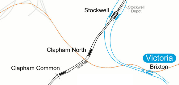
Created by French mapping wizards carto.metro, the map offers a ton of fascinating detail about the capital’s network, letting you peruse track layouts, section opening and closing dates, crossovers, sidings, closed stations, disused lines and platform positions.
You can view the map here – and zoom in and out to your heart’s content – and there’s also a handy downloadable PDF file here.
Related posts: